The coordinate plane is one of the most important ideas in mathematics. It provides a simple and systematic way to describe the position of points, understand relationships between quantities, and represent mathematical information visually. From drawing graphs in a classroom to designing buildings, developing computer graphics, and mapping locations, the coordinate plane has become an essential tool in many fields.
The coordinate plane did not develop in a single moment. Its history is connected to the gradual development of geometry, algebra, measurement, and scientific thinking. Ancient civilizations used grids, measurements, and geometric diagrams to solve practical problems, but the mathematical system we recognize today emerged much later. The work of mathematicians such as René Descartes and Pierre de Fermat helped establish the connection between algebra and geometry that made coordinate geometry possible.
In this beginner’s guide, we will explore the origins of the coordinate plane, the mathematicians who contributed to its development, how its basic structure works, and why it remains important in modern mathematics and technology.
1. What Is a Coordinate Plane?
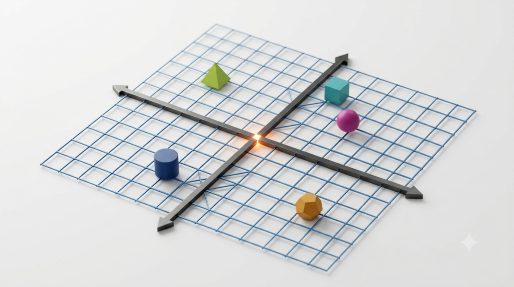
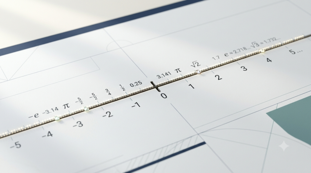
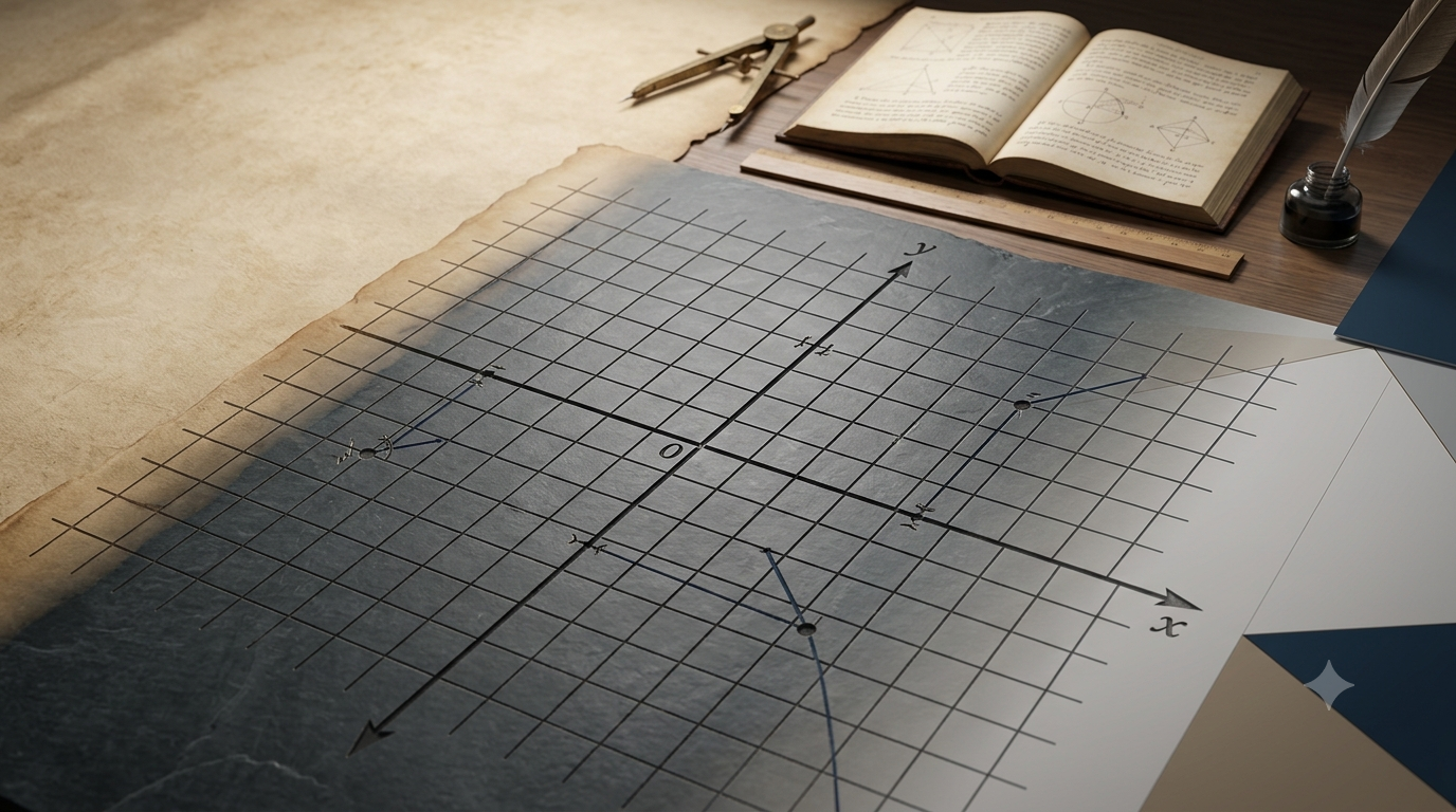
A coordinate plane is a flat, two-dimensional surface formed by two perpendicular number lines. These lines are called the horizontal axis and the vertical axis. They intersect at a point known as the origin.
The horizontal line is called the x-axis, while the vertical line is called the y-axis. Together, these axes allow us to identify the exact position of a point using an ordered pair of numbers.
For example, the point (3, 2) represents a location three units to the right of the origin and two units above it.
Each point on the coordinate plane has two coordinates. The first number indicates its horizontal position, and the second indicates its vertical position.
Text block: Basic Coordinate Notation
Point = (x, y)
x = Horizontal coordinate
y = Vertical coordinate
Origin = (0, 0)
The coordinate plane makes it possible to represent mathematical relationships visually. Instead of describing a location only through words, we can use numbers to identify it precisely.
2. Early Mathematical Ideas Before the Coordinate Plane
2.1 Mathematics in Ancient Civilizations
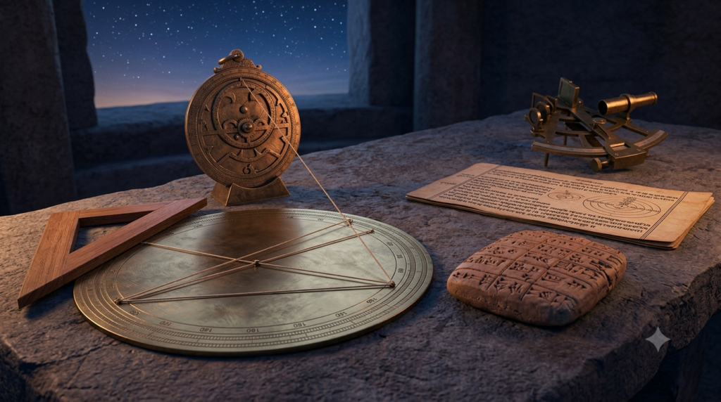
The roots of coordinate geometry can be traced to the practical mathematics of ancient civilizations. Egyptians, Babylonians, Greeks, Indians, and other ancient peoples developed methods for measuring land, constructing buildings, observing the sky, and recording numerical information.
These activities required people to describe positions, distances, directions, and shapes. Although they did not use the modern coordinate plane in its familiar form, their work helped establish ideas that later became important in coordinate geometry.
For example, ancient Egyptian surveyors needed to measure agricultural land and restore boundaries after the annual flooding of the Nile River. Babylonian astronomers recorded celestial observations and developed mathematical methods for studying the movements of heavenly bodies.
Such activities demonstrated the importance of representing spatial information accurately.
2.2 The Role of Grids and Geometric Diagrams
Grids and diagrams provided early methods for organizing spatial information. A grid divides a surface into smaller sections, making it easier to estimate distances, compare positions, and reproduce designs.
Different cultures used structured layouts in architecture, land measurement, artistic design, and astronomical calculations. However, these practical systems should not be confused with the complete modern coordinate plane.
The modern coordinate plane requires a systematic relationship between numerical coordinates and geometric positions. This connection developed gradually as mathematicians began looking for ways to combine numerical calculations with geometric reasoning.
3. The Contributions of Ancient Greek Geometry
3.1 Geometry as a Systematic Mathematical Discipline
Ancient Greek mathematicians made major contributions to the development of geometry. They studied points, lines, angles, triangles, circles, and other geometric objects using logical reasoning and mathematical proofs.
One of the most influential figures was Euclid, who lived around the third century BCE. His work, Elements, organized many known geometric results into a systematic mathematical framework.
Euclid did not invent the modern coordinate plane. Instead, his approach to geometry helped establish a tradition of precise definitions, logical arguments, and relationships between geometric objects.
This tradition later became important when mathematicians began expressing geometric problems through algebraic equations.
3.2 Apollonius and the Study of Curves
Apollonius of Perga, a Greek mathematician who lived around the third century BCE, made significant contributions to the study of conic sections.
Conic sections include circles, ellipses, parabolas, and hyperbolas. These curves can be produced by intersecting a cone with a plane in different ways.
Apollonius studied their properties using geometric methods. Although he did not describe these curves using the modern coordinate system, his work became important for later developments in analytical geometry.
Centuries afterward, coordinate methods made it possible to represent these curves with equations and investigate their properties through algebra.
4. The Development of Algebra
4.1 From Geometric Problems to Numerical Calculations
Algebra played a central role in the development of the coordinate plane. It introduced systematic methods for representing unknown quantities with symbols and solving equations.
Earlier mathematical traditions often treated many problems geometrically or expressed them through words and numerical procedures. Over time, mathematicians developed increasingly effective symbolic methods for describing unknown values and relationships.
The development of algebra was influenced by several mathematical cultures, including Greek, Indian, Persian, and Arab traditions.
The Persian mathematician Muhammad ibn Musa al-Khwarizmi, who lived during the ninth century, made important contributions to the systematic study of algebra. His work helped establish methods for solving equations and influenced the later development of algebraic mathematics.
Indian mathematicians also made important advances in arithmetic, negative numbers, zero, and equation solving. These developments contributed to the numerical and symbolic foundations that later supported coordinate geometry.
4.2 Why Algebra Was Important for Coordinate Geometry
Geometry describes shapes and spatial relationships, while algebra describes numerical relationships using symbols and equations.
Before the development of analytical geometry, these subjects were often studied as separate branches of mathematics. Combining them allowed mathematicians to solve geometric problems through algebraic calculations and interpret equations as geometric objects.
For example, a straight line can be represented by an equation.
Text block: Equation of a Straight Line
y = mx + c
m = Slope of the line
c = y-intercept
x = Horizontal coordinate
y = Vertical coordinate
This equation allows a mathematical relationship to be represented as a line on the coordinate plane. The development of such connections transformed the way mathematicians studied geometry.
5. René Descartes and the Birth of Analytical Geometry
5.1 Who Was René Descartes?
René Descartes was a French philosopher, mathematician, and scientist who lived from 1596 to 1650. He is widely associated with the development of analytical geometry, also known as coordinate geometry.
Descartes sought methods for solving mathematical problems systematically. One of his important contributions was the use of algebraic relationships to study geometric figures.
His work helped establish the idea that geometric positions and shapes could be described using numerical coordinates and algebraic equations.
5.2 The Publication of La Géométrie
In 1637, Descartes published La Géométrie as an appendix to his larger philosophical work Discourse on the Method.
In La Géométrie, Descartes demonstrated how algebraic methods could be applied to geometric problems. He explored relationships between equations and curves, helping create a mathematical framework in which geometry could be investigated through calculations.
This was a major step toward the coordinate geometry studied today.
Descartes did not create every feature of the modern Cartesian coordinate plane exactly as it appears in present-day textbooks. Nevertheless, his work became one of the most influential foundations of the subject.
5.3 Why the System Is Called Cartesian
The word Cartesian comes from the Latin form of Descartes’s name, Cartesius.
For this reason, the coordinate system based on perpendicular axes and numerical coordinates is commonly called the Cartesian coordinate system.
The Cartesian system provides a standard way to locate points, represent equations, and study geometric relationships using numbers.
Its influence extends far beyond elementary geometry. It is also fundamental to calculus, physics, engineering, computer science, and many other fields.
6. Pierre de Fermat and the Development of Coordinate Geometry
6.1 Fermat’s Independent Contributions
Pierre de Fermat was a French mathematician who lived from 1607 to 1665. He made important contributions to number theory, probability, and the development of analytical geometry.
Fermat independently developed methods connecting algebraic equations with geometric curves. His work on the subject was written before the publication of Descartes’s La Géométrie, although his relevant treatise was published posthumously in 1679.
Both Descartes and Fermat helped establish the foundations of analytical geometry, but they approached mathematical problems in somewhat different ways.
6.2 Equations and Geometric Curves
Fermat demonstrated how equations could be used to describe curves and how geometric properties could be studied through algebra.
This approach encouraged mathematicians to consider equations not merely as instructions for calculating unknown numbers but also as descriptions of relationships between points.
For example, the equation of a circle centered at the origin can be written as follows.
Text block: Equation of a Circle
x² + y² = r²
x = Horizontal coordinate
y = Vertical coordinate
r = Radius of the circle
This equation describes every point whose distance from the origin is equal to the radius. It illustrates the important connection between numerical coordinates, algebraic equations, and geometric shapes.
The contributions of Fermat and Descartes helped make this connection a central feature of modern mathematics.
7. How the Modern Coordinate Plane Developed
7.1 The Use of Positive and Negative Coordinates
The coordinate plane became more useful as mathematicians developed systematic methods for working with positive and negative numbers.
Positive coordinates can represent positions to the right of the origin on the x-axis and above the origin on the y-axis. Negative coordinates represent positions to the left and below the origin.
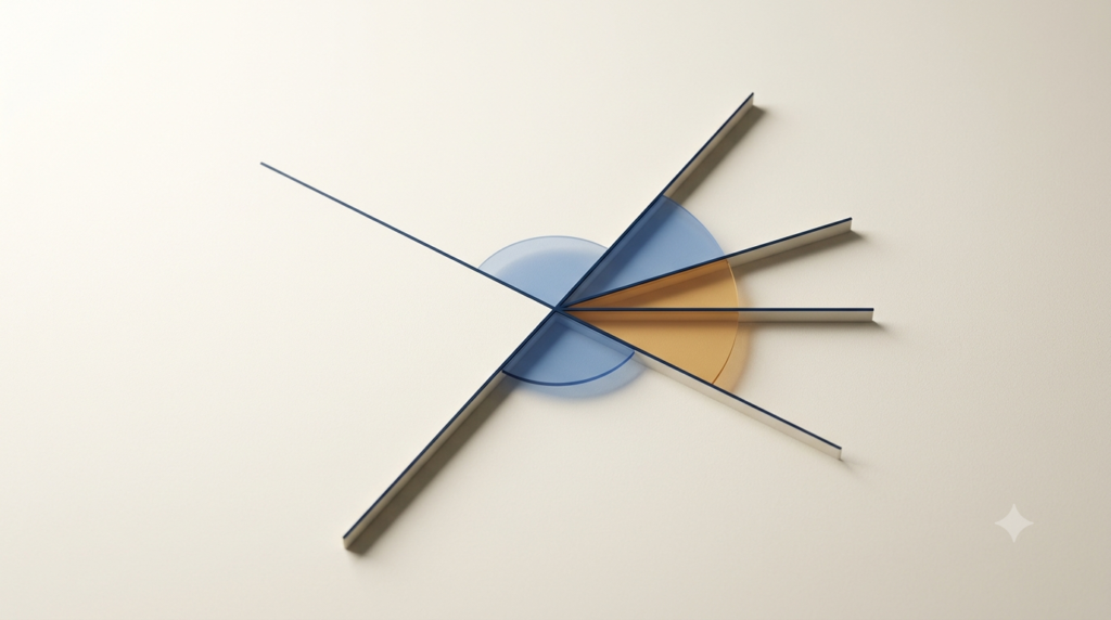
These conventions divide the plane into four regions called quadrants.
The first quadrant contains points with positive x- and y-coordinates. The second contains negative x-coordinates and positive y-coordinates. The third contains two negative coordinates, while the fourth contains positive x-coordinates and negative y-coordinates.
Text block: Coordinate Signs in Four Quadrants
Quadrant I: (+, +)
Quadrant II: (−, +)
Quadrant III: (−, −)
Quadrant IV: (+, −)
This structure makes it easier to locate points and understand how their positions relate to one another.
7.2 Standardization of Coordinate Notation
Over time, mathematicians and educators adopted common conventions for describing points, lines, curves, and other geometric objects.
The ordered pair (x, y) became a standard way to identify a point on a two-dimensional coordinate plane. The first coordinate describes the horizontal position, and the second describes the vertical position.
This standard notation allows mathematical ideas to be communicated clearly across textbooks, classrooms, research papers, and scientific applications.
The coordinate plane also became an important tool for teaching the relationship between tables of numerical values, equations, and graphs.
8. The Role of the Coordinate Plane in the Development of Calculus
8.1 Studying Changing Quantities
During the seventeenth century, mathematicians began developing methods for studying change, motion, slopes, and areas. These investigations eventually contributed to the development of calculus.
Isaac Newton and Gottfried Wilhelm Leibniz independently developed major foundations of calculus during the seventeenth century.
Coordinate geometry provided a useful framework for representing relationships between changing quantities. By plotting values on axes, mathematicians could examine how one quantity changed in relation to another.
For example, a graph showing distance against time can help describe the motion of an object. A graph showing temperature against time can reveal heating and cooling patterns.
8.2 The Importance of Graphs
The coordinate plane made graphs a powerful mathematical tool.
A graph can display patterns that may be difficult to recognize from a list of numbers alone. Straight lines can represent constant rates of change, while curves can represent more complex relationships.
The slope of a straight line describes how much the vertical coordinate changes relative to the horizontal coordinate.
Text block: Slope Formula
m = (y₂ − y₁) / (x₂ − x₁)
m = Slope
(x₁, y₁) = First point
(x₂, y₂) = Second point
This formula allows the steepness and direction of a straight line to be calculated using two points.
The development of calculus expanded these ideas by providing methods for studying instantaneous rates of change, tangent lines, and accumulated quantities.
9. The Coordinate Plane in Education
9.1 Making Mathematics Easier to Understand
The coordinate plane is introduced in mathematics education because it provides a visual way to understand relationships between numbers.
Students learn to identify the axes, locate the origin, plot ordered pairs, and draw graphs. These skills provide a foundation for more advanced topics such as linear equations, functions, transformations, and analytical geometry.
For example, plotting several points can reveal whether they lie on the same straight line. Graphing an equation can also help students understand how changing a number in the equation affects the shape or position of a graph.
9.2 Connecting Different Mathematical Ideas
The coordinate plane connects arithmetic, algebra, and geometry.
Arithmetic helps students calculate coordinate values. Algebra allows them to express relationships through equations. Geometry helps them interpret the resulting points, lines, and shapes.
This connection is one of the reasons coordinate geometry is so important in mathematics education.
It also prepares learners for advanced topics, including trigonometry, calculus, vectors, statistics, and mathematical modeling.
10. The Coordinate Plane in Science and Technology
10.1 Physics and Engineering
In physics, coordinate systems are used to describe the positions and movements of objects. Scientists can represent displacement, velocity, acceleration, and other quantities using graphs and mathematical relationships.
Engineers use coordinate systems when designing structures, analyzing mechanical systems, and representing technical drawings.
For example, a graph of an object’s position against time can help scientists determine whether the object is stationary, moving at a constant rate, or changing its motion.
10.2 Computer Graphics and Game Development
Modern computer graphics rely heavily on coordinate systems.
A computer must represent the positions of points, lines, shapes, and objects numerically before it can display them on a screen. Two-dimensional graphics use horizontal and vertical coordinates, while three-dimensional graphics add a third coordinate.
Game developers use coordinate systems to position characters, calculate movement, detect collisions, and create interactive environments.
Design software also uses coordinates to place objects accurately and control their dimensions.
Although computer screens may use different coordinate conventions from school mathematics, the underlying idea of describing positions numerically remains similar.
10.3 Maps and Geographic Information
Coordinates are also essential for mapping and geographic information systems.
A map uses a coordinate reference system to describe locations on Earth’s surface. Latitude and longitude are widely used geographic coordinates, while projected maps may use systems based on horizontal and vertical coordinates.
These systems are not identical to a simple Cartesian coordinate plane because Earth is approximately spherical and map projections introduce specific geometric considerations. However, both approaches rely on systematic methods for identifying positions.
Modern navigation, surveying, urban planning, and geographic data analysis all depend on accurate coordinate systems.
11. From Two Dimensions to Three Dimensions
The traditional coordinate plane describes positions in two dimensions using x- and y-coordinates.
However, many real-world objects and situations require three dimensions. To represent depth as well as horizontal and vertical position, mathematicians use a three-dimensional coordinate system.
This system adds a third axis, called the z-axis. The three coordinates identify a point in space.
Text block: Three-Dimensional Coordinate Notation
Point = (x, y, z)
x = First coordinate
y = Second coordinate
z = Third coordinate
The origin = (0, 0, 0)
Three-dimensional coordinates are used in architecture, engineering, robotics, physics, animation, and computer-aided design.
The extension from two dimensions to three dimensions shows how the fundamental idea of the coordinate plane can be adapted to represent more complex spaces.
12. The Importance of the Coordinate Plane Today
The coordinate plane remains a basic but powerful mathematical tool. Its importance comes from its ability to turn abstract relationships into visual representations that can be measured, analyzed, and understood.
In education, it helps students connect equations with graphs. In science, it allows researchers to analyze experimental data and describe physical relationships. In engineering, it supports precise design and calculation. In digital technology, coordinate systems help computers represent and manipulate visual objects.
Modern applications may involve complex coordinate systems, transformations, multiple dimensions, or curved surfaces. Nevertheless, many of these methods build on the same fundamental idea: positions can be described systematically using numbers.
The coordinate plane also encourages logical thinking. By plotting points and examining patterns, learners can develop a clearer understanding of mathematical relationships and solve problems more effectively.
Conclusion
The history of the coordinate plane reflects the gradual development of mathematics from practical measurement and classical geometry to the powerful combination of algebra and geometry. Ancient civilizations contributed important methods of measurement and spatial representation, while Greek mathematicians developed systematic approaches to studying shapes and curves. The growth of algebra created new ways to describe numerical relationships, and the work of René Descartes and Pierre de Fermat helped establish analytical geometry in the seventeenth century.
As mathematics advanced, the coordinate plane became essential for graphing equations, studying motion, developing calculus, and solving scientific and engineering problems. Its applications later expanded into computer graphics, mapping, design, and modern technology.
For beginners, learning the coordinate plane is more than learning how to plot points. It is an introduction to a mathematical system that connects numbers, equations, shapes, and real-world situations. Understanding its history also helps explain why this simple arrangement of two perpendicular axes has had such a lasting influence on mathematics and science.
FAQs
1. What is the coordinate plane?
The coordinate plane is a two-dimensional mathematical surface formed by two perpendicular number lines called the x-axis and y-axis. These axes intersect at a point known as the origin, represented by (0, 0). The coordinate plane allows us to identify the exact position of a point using an ordered pair of numbers, such as (3, 2). The first number represents the horizontal position, while the second represents the vertical position. Today, the coordinate plane is widely used in mathematics, science, engineering, computer graphics, and other fields to represent points, draw graphs, and understand relationships between quantities.
2. Who invented the coordinate plane?
René Descartes is widely associated with the development of the modern coordinate system and analytical geometry. He was a French mathematician and philosopher who lived from 1596 to 1650. In 1637, he published La Géométrie, a work that demonstrated important connections between algebra and geometry. However, Pierre de Fermat independently developed related ideas and also made significant contributions to analytical geometry. Therefore, the coordinate plane was not simply invented by one person in a single moment. Its development resulted from mathematical progress over many centuries, with Descartes and Fermat playing particularly important roles.
3. Why is the coordinate plane called the Cartesian plane?
The coordinate plane is often called the Cartesian plane because of its association with René Descartes. The term Cartesian comes from the Latin form of his surname, Cartesius. Descartes helped establish methods for representing geometric relationships through algebraic equations and numerical coordinates. His work became a foundation of analytical geometry, which combines algebra and geometry. In a Cartesian coordinate system, points are identified using ordered pairs in two dimensions or ordered triples in three dimensions. This system provides a consistent way to describe positions, graph equations, and investigate mathematical relationships across many areas of mathematics and science.
4. What are the main parts of a coordinate plane?
The main parts of a coordinate plane are the x-axis, y-axis, origin, coordinates, and four quadrants. The x-axis is the horizontal number line, while the y-axis is the vertical number line. Their intersection is called the origin, represented by (0, 0). Coordinates identify the position of a point using an ordered pair (x, y). The four quadrants are the regions created by the two axes. Each quadrant contains a different combination of positive and negative coordinates. These parts work together to provide a systematic method for locating points and representing mathematical relationships visually.
5. What is the role of René Descartes in coordinate geometry?
René Descartes played a major role in establishing analytical geometry, which connects algebraic equations with geometric figures. His 1637 work, La Géométrie, demonstrated how algebra could be used to investigate geometric problems and how equations could represent curves. This approach allowed mathematicians to study shapes through calculations rather than relying entirely on traditional geometric constructions. Descartes’s ideas helped establish the foundations of the Cartesian coordinate system, which is widely used today. Although other mathematicians, particularly Pierre de Fermat, contributed independently to similar developments, Descartes remains one of the most influential figures in the history of coordinate geometry.
6. How did ancient civilizations contribute to the development of the coordinate plane?
Ancient civilizations contributed to the mathematical foundations that eventually supported the development of the coordinate plane. Egyptians used measurement and geometry to survey land, construct buildings, and restore property boundaries. Babylonians developed mathematical methods for calculations and astronomical observations. Ancient Greek mathematicians, including Euclid and Apollonius, made important contributions to geometric reasoning and the study of curves. These early achievements did not constitute the modern Cartesian coordinate system, but they helped develop mathematical ideas about position, distance, shapes, and measurement. Later mathematicians combined these geometric traditions with algebra to establish analytical geometry.
7. What is the difference between algebra and coordinate geometry?
Algebra focuses on mathematical expressions, equations, and relationships between quantities, while coordinate geometry uses numerical coordinates and algebraic methods to study geometric figures. Algebra can be used to solve an equation such as y = 2x + 1. Coordinate geometry allows this equation to be represented as a straight line on a graph. This connection makes it possible to understand equations visually and investigate geometric properties through calculations. The two branches complement each other because algebra provides the symbolic tools, while coordinate geometry connects those tools with points, lines, curves, and shapes on a coordinate plane.
8. How did the coordinate plane contribute to the development of calculus?
The coordinate plane helped mathematicians represent changing quantities and study relationships between variables. During the seventeenth century, Isaac Newton and Gottfried Wilhelm Leibniz independently developed major foundations of calculus. Graphs and coordinate methods provided useful ways to investigate slopes, curves, motion, and areas. For example, a distance-time graph can show how an object’s position changes over time. Calculus extends these ideas by providing methods for calculating instantaneous rates of change and accumulated quantities. The coordinate plane therefore became an important foundation for understanding functions, derivatives, integrals, and many scientific applications involving continuously changing quantities.
9. Where is the coordinate plane used in everyday life?
The coordinate plane is used in many practical situations, including computer graphics, engineering, scientific research, and education. Designers use coordinate systems to position objects accurately in digital illustrations and technical drawings. Game developers use coordinates to control the movement and location of characters and other objects. Scientists use graphs to analyze experimental results, while engineers use coordinate methods to design structures and study mechanical systems. Mapping technologies also use coordinate reference systems to identify geographic locations. Although some applications use more complex systems than the basic Cartesian plane, they share the fundamental idea of representing positions systematically.
10. What is the difference between a two-dimensional and a three-dimensional coordinate system?
A two-dimensional coordinate system identifies a point using two coordinates, x and y. These coordinates describe horizontal and vertical positions on a flat surface. For example, the point (3, 2) represents a location three units to the right and two units above the origin. A three-dimensional coordinate system adds a third coordinate, z, to represent depth or position along another axis. A point can therefore be written as (3, 2, 4). Two-dimensional systems are common in basic graphing and flat drawings, while three-dimensional systems are used in architecture, robotics, engineering, physics, and computer-generated environments.